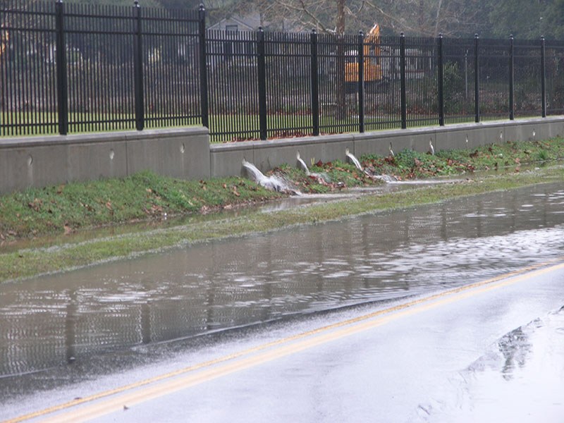
Stormwater Runoff
Rivers and other “receiving waters” drain surrounding land areas called we call “watersheds.” In natural areas like forests or savannas, most rainfall soaks into the ground or is conveyed by trees and vegetation back up into the atmosphere by a process called “evapotranspiration.” The small percentage remaining drains directly into the river. As natural landscapes are developed, rooftops, streets, sidewalks, parking lots and other installed “impervious surfaces” prevent rainwater from infiltrating, or soaking into the soil. In developed landscapes, most rainwater collects on the hard surfaces and flows, with increased volume and velocity, towards receiving waters as stormwater runoff. Only a small percentage infiltrates.
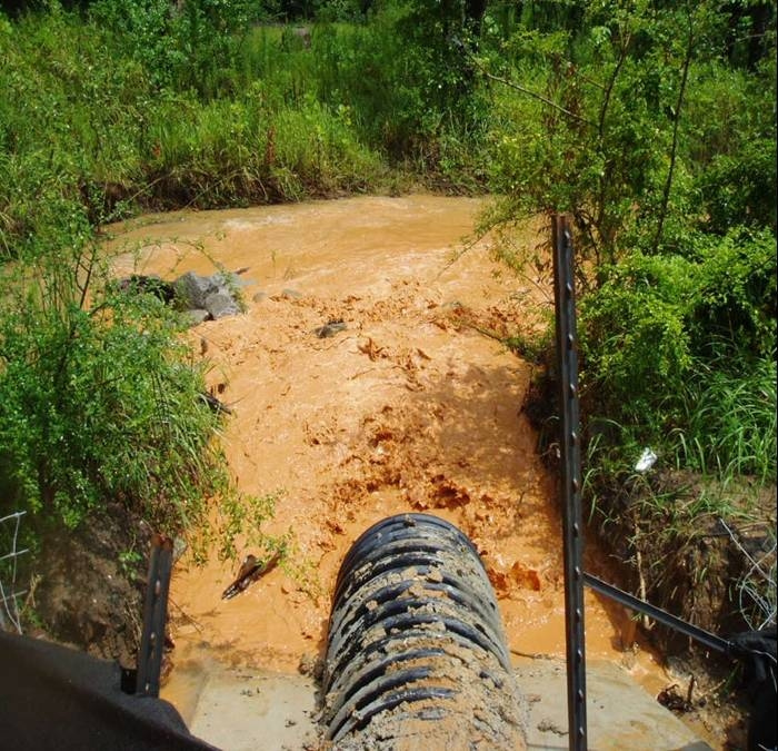
The U.S. Environmental Protection Agency considers polluted stormwater runoff to be the primary threat to the quality of our nation’s surface waters. When stormwater runoff courses down streets and curbs towards storm drains and then, untreated, into our creeks and rivers, it carries all of the residues of urban living with it. Stormwater runoff carries oil, grease, and other auto fluids; rubber residue from worn tires; improperly discarded litter and trash; pet waste; fertilizer and pesticide; leaves and organic debris; and soap and detergent into the estuarine waters that support our lives on the coast. With the Clean Water Act protecting our waters from industrial discharge, most of the pollutants degrading our waters today are nonpoint source pollutants delivered from our urban and suburban landscapes by stormwater.
The Alabama Department of Environmental Management is required to list State waterbodies failing to meet the standards applied to their use designations, ranging from Outstanding Alabama Water (with the strictest standards) to Agricultural and Industrial Water Supply (with the most relaxed standards). Every even-numbered year, ADEM publishes its (Clean Water Act Section) 303(d) List of Impaired Waters, which includes the waterbody name, river basin, county, use designation, causes (the pollutant), and sources of the pollutant. Other than metals introduced by atmospheric deposition, stormwater runoff provides the primary path of pollutants into the receiving waters. Common stormwater-related causes include nutrients (fertilizer, pet waste, and organic debris), pathogens (sewage related bacteria introduced via failing septic systems, pasture grazing, or sanitary sewer overflows caused by stormwater runoff), pesticides (from urban runoff/storm sewers), and siltation (from agricultural operations or stream bank erosion).
Siltation from stream bank erosion is the primary pollutant impairing the creeks and streams of the D’Olive (Creek, Tiawasee Creek, and Joe’s Branch) Watershed on Mobile Bay’s eastern shore. With five of its streams 303(d)-listed, the D’Olive Watershed has been the focus of a comprehensive, multi-year restoration program.
Four factors make D’Olive Watershed “the perfect storm of stormwater impacts.” It has 1) rolling topography with steep slopes, 2) highly erodible soils, 3) an average of over five feet of hard rain annually, and 4) significant development with lots of impervious cover. The D’Olive Creek Watershed Management Plan, published in 2010, revealed that the source of sediments choking Lake Forest’s lake and D’Olive Bay was NOT construction site mismanagement along I-10, as some assumed. Rather, the silt was delivered from head cuts and erosion of banks of streams throughout the Watershed caused by stormwater pouring down slopes and cutting deep channels with great force. Streambank erosion results in degradation of wetlands at the bottoms of slopes, where runoff velocity slows and heavier sediment particles quickly fall out. Fine silt and clays are carried downstream into estuarine bays, where they degrade fish and shellfish nursery habitat.
The first stream restorations in the D’Olive Watershed were of Joe’s Branch tributary JB, an ephemeral stream running down a steep hill at Westminster Village in Spanish Fort and JB II, a relatively flat, wetlands surrounded tributary to Joe’s Branch. Head cutting, incision, and mass slumping threatened both residences at Westminster Village and U.S. Highway 31 and choked downstream wetlands in sandy sediment. These two tributaries delivered the largest normalized (by land area) sediment loads ever monitored by the Geological Survey of Alabama. In April 2020, with monitoring showing restoration reduced sediment loads by over 90%, ADEM officially de-listed Joes Branch (or removed it) from the State’s 303(d) list. With significant funding from the National Fish and Wildlife Foundation’s Gulf Environmental Benefits Fund, MBNEP has restored two miles (over 11,000 linear feet) of degraded streams and 71 acres of degraded flood plain, reducing sediment delivery by 5,272 tons (or 351 truckloads) per year.


