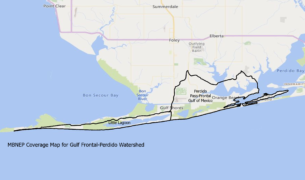
Use the map above to discover which watershed you live in. Zoom in and out and click on an area to get more information about your watershed.
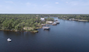
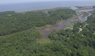
Coverage Area of the Mobile Bay National Estuary Program
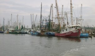
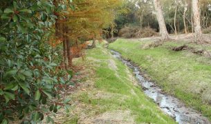
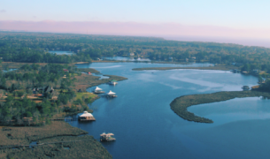
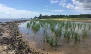
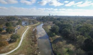
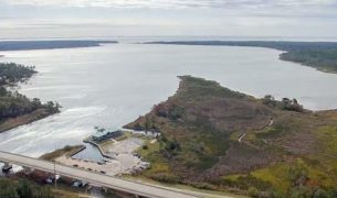
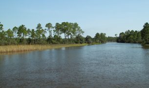
In 2013, the Mobile Bay National Estuary Program (MBNEP) embarked upon a holistic, watershed-based approach to guide coastal ecosystem restoration and protection measures through watershed management planning of the coverage area reflected in the above map. The MBNEP’s five-year Ecosystem Restoration and Protection strategy of Respect the Connect initiated this novel approach. It prescribes development of watershed management plans (WMPs) for drainage areas, not political jurisdictions, to ensure restoration projects are scientifically defensible and components of an overall management program.
The goals of watershed planning are to:
- Improve water quality
- Improve habitats
- Protect continued customary uses of biological resources
- Improve watershed resilience
- Expand opportunities for community access
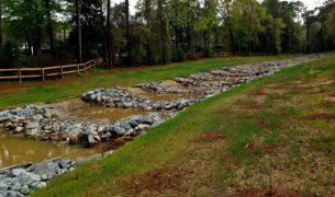
A WMP identifies problems that threaten the quality of receiving waters (waterbodies to which a watershed drains) and recommends prioritized solutions to those problems. It even identifies and recommends potential funding sources to pay for those solutions. Watershed plans provide a vehicle to ensure a sustainable quality of life for coastal residents by setting goals focused on the six common values most important to those living in coastal Alabama. These WMPs are invaluable to our State’s decision makers, as they direct limited funding available through various sources. To date, over $170 million dollars in Deepwater Horizon-related funding has been allocated to projects identified through the watershed planning process.