The Landscape
Watershed Size and Location
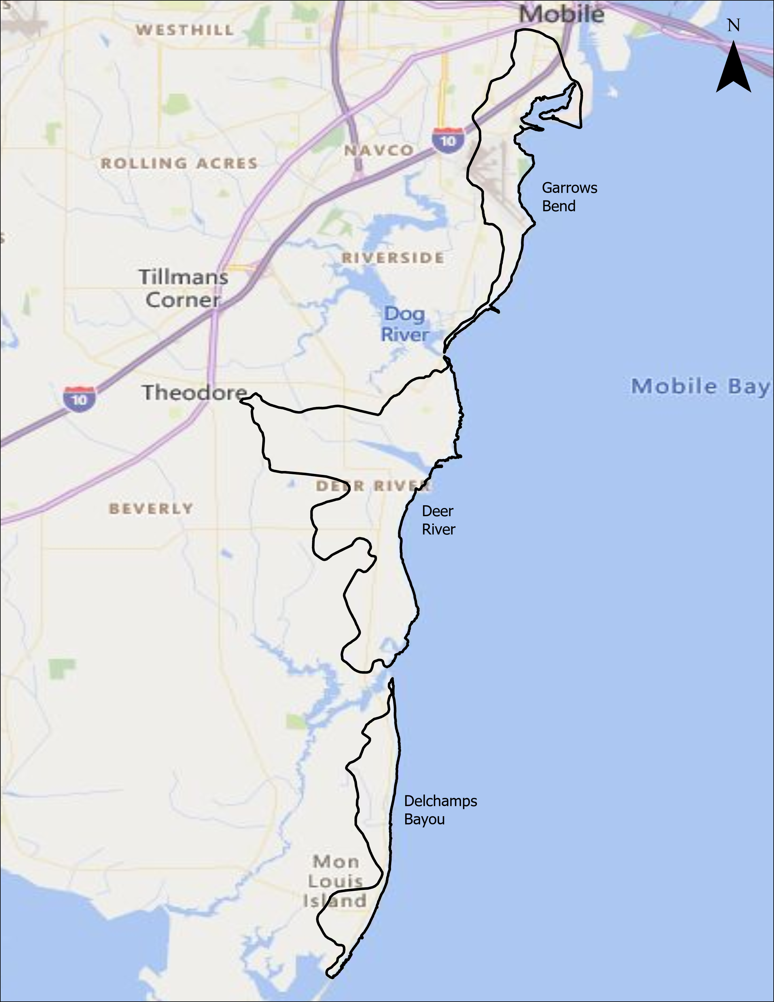
This Watershed complex encompasses approximately 16,500 acres along the western shore of Mobile Bay starting in the City of Mobile along the Brookley complex shouth to Alabama Port. Approximate landuse breakdown: urban 38%, Agricultural 5%, Forest 53%, water/wetlands 3%.
Main Tributaries and Tidal Influence
Deer River (HUC 031602050105) includes all three HUC 12s. Major waterways and named tributaries include: Delchamps Bayou, North and South forks of Deer River, and the Theodore Industrial Channel.
Water Use Classification and Impairments
The majority of named waterways are classified for Fish & Wilflife use. Two segments of Deer River are currently listed on the State of Alabama's 303(d) list of impaired waters for Organic Enrichment due to collection system failure and stormwater runoff.


